5 - Rock glaciers
12 km |
788 m |
4:00 |
E
View the route
High difficulty ring route, total length of 11.3 km with a positive difference in height of 920 m. Departure from Palu del Fersina.
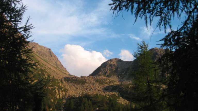
Elements of the alpine periglacial landscape, rock glaciers are one of the most widespread forms in the landscape of the high altitudes of the Lagorai. Debris accumulations in the shape of tongue, lobe, drop, clearly raised on the surrounding ground and developed in length from a few tens to a few hundred meters, the rock glaciers can represent an important paleoclimatic indicator and the presence of alpine periglacial environments to our latitudes is to be referred to the last stages of advance of the Pleistocene glaciers. A group of rock glaciers particularly significant for their morphological evidence is present in the area between Mt. from the Sette Selle refuge (1.5 km after the refuge for a 200 m climb) and with a long traverse it cuts the western side of the Sasso Rotto. The proposed visit itinerary then continues with a ridge route that touches Cima Cave (2292 m) and Monte del Lago (2329 m) up to the intersection with the Sat E325 path, and then descends towards the glacial basin of the enchanting Lake Erdemolo and from there along the Fersina valley to the starting point (parking in the locality of Frotten). The entire route is about 12 km long for a total uphill altitude difference of 919 m and a travel time of about 4 hours, while access to the panoramic point on the rock glaciers can be combined with the ascent to the Sette Selle Refuge by extending by 1 km and overcoming another 200 m in altitude.
back