"A geosite can be defined as a site location area or territory in which it is possible to identify a geological or geomorphological interest for conservation" (W.A.P. Wimbledon, 1996)
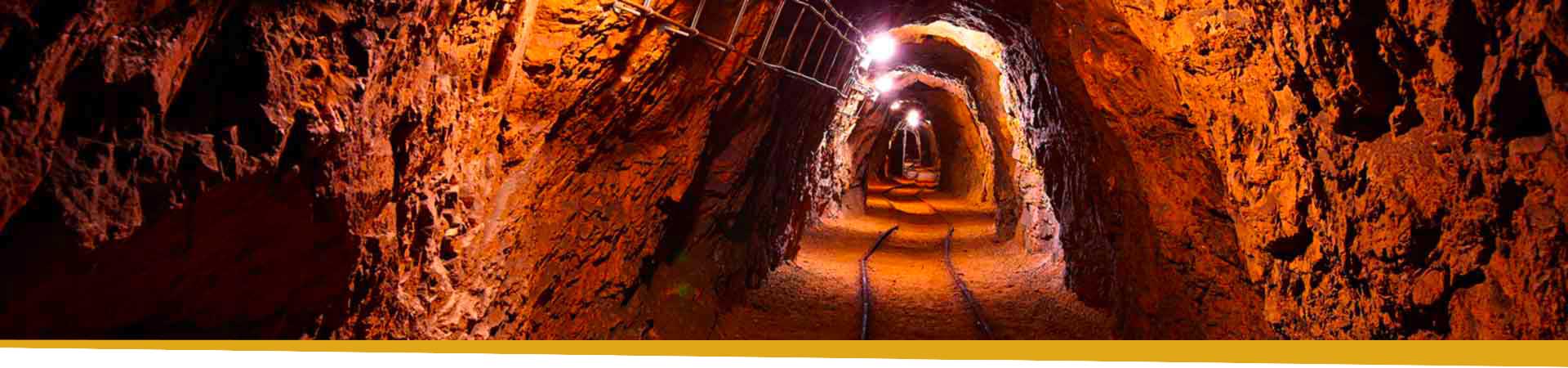
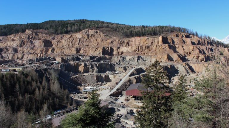
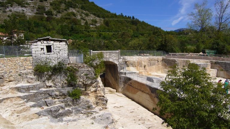
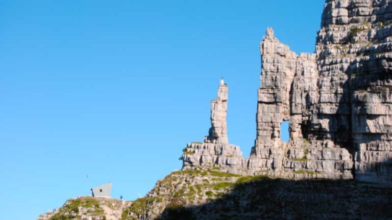
Ancient mines and quarries, gorges, waterfalls and geomorphosites are the geosites indicated in the map, ideal for geo-tourism: to discover and understand how our land is made, up to its most hidden features. In addition to all this, the Parco Miniere Lagorai offers its visitors, through its network of local businesses, a special and qualified welcome for a geo-mining journey
1 - Una passeggiata tra le cave
12 km |
360 m |
3:00 |
E
more »
2 - Sulle tracce della pietra di Trento
6 km |
380 m |
2:00 |
E
Departure from Port'Aquila di Trento with a positive difference in height of about 400m after traveling 6 km.
more »
3 - Dosso di Costalta
5 km |
500 m |
2:00 |
E
Departure from loc. Parciocca with arrival at Dosso di Costalta after about 6 km with a positive altitude difference of 800m.
more »
4 - Bivacco Vigolana alla Madonnina
4,5 km |
1051 m |
3:00 |
E
Departure from the Paludei Refuge and arrival at the Vigolana Bivouac after 1000m of altitude difference and a distance of 6 km. Difficult path.
more »
5 - Rock glaciers
12 km |
788 m |
4:00 |
E
High difficulty ring route, total length of 11.3 km with a positive difference in height of 920 m. Departure from Palu del Fersina.
more »
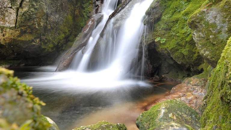
6 - Le cascate del Valimpach Parco Fluviale del torrente Centa
2 km |
52 m |
0:30 |
E
Simple route suitable for everyone with a one-way walk of about 2 km and a difference in height of 50m
more »
7 - Alta Via del Porfido
45 km |
1009 m |
10:00 |
E
more »